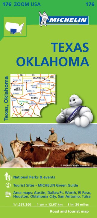
Description
(Edition updated in 2019) Michelin USA Texas Oklahoma Map 176 (scale: 1:1,267,000) part of Michelin’s US regional map series with green covers zooms in close for comprehensive coverage of Texas and Oklahoma, as well as eastern New Mexico and western Arkansas and Louisiana. It contains city maps for easy driving in Austin, Dallas/Ft. Worth, El Paso, Houston, Oklahoma City, San Antonio and Tulsa. Michelin star-rated sights and a selection of not-to-be-missed annual events and festivals serve as inspiration for future road trips. Outdoor enthusiasts have a choice of several national parks for scenery and activities: Big Bend, Guadalupe Mountains and Carlsbad Caverns (in NM). The map includes a comprehensive index, a distance chart, and a multi-language legend in English and Spanish. Those traveling for business or pleasure, as well as locals traveling further afield, will appreciate Michelin’s high standard of clear and accurate mapping and the additional information on parks, events and points of interest to make the journey more enjoyable MICHELIN ZOOM MAPS are perfect to discover major tourist areas, with a high level of details in an easy to use format. They nicely complement our Michelin Guides and include: * Various leisure activities, such as water parks, tourist trains, horse racing, etc * Scenic routes and tourist sights crossed referenced with the famous Michelin’s Green Guides * Camping sites information from Michelin’s Camping Guides * Hotel information from the world famous MICHELIN Guides.