")
")
")
")
")
")
")
")
")
")
")

Featured Books


Bookshop: Monday – Saturday: 9.30am – 5.30pm. Sunday: 10.30am – 4.30pm.
Café: Monday – Friday: last orders at 4.15pm. Sunday: last orders at 3.15pm.
Closed on Bank Holidays
Some of our newest books are highlighted below.
Or you can go straight to our Online Shop…
This Week’s Bestsellers
-
 James: The Powerful Reimagining of The Adventures of Huckleberry Finn by Percival Everett£20.00
 -
 Outside In: A Year of Growing & Displaying by Sean A Pritchard£30.00
 -
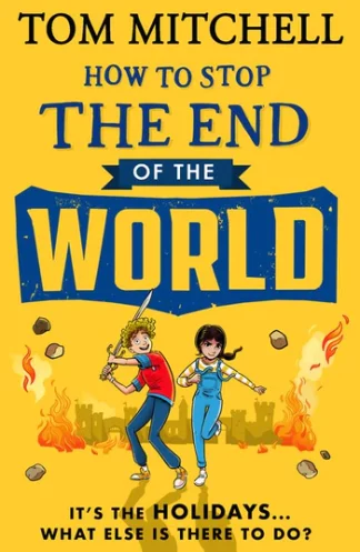 How to Stop the End of the World by Tom Mitchell£7.99
 -
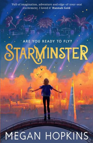 Starminster by Megan Hopkins£7.99
 -
 Big Bad Wolf Investigates Fairy Tales by Catherine Cawthorne and Sam Ogilvie£7.99
 -
 The Lost Paths: A History of How We Walk From Here To There by Jack Cornish£20.00
 -
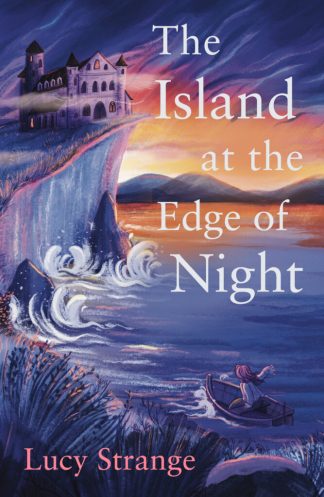 The Island at the Edge of Night by Lucy Strange£7.99
 -
 Close to Home: Winner of the Rooney Prize for Literature 2023 by Michael Magee£9.99
 -
 Playfair Cricket Annual 2024 by Ian Marshall£10.99
 -
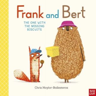 Frank and Bert: The One With the Missing Biscuits by Chris Naylor-Ballesteros£7.99
Signed Books Available


Paperback Fiction Display Table


Crime & Thriller Display Table


Paperback Non-Fiction Display Table


Reviewed by Our Booksellers
-
 Clear by Carys Davies£12.99
 -
 Commute: An Illustrated Memoir of Shame by Erin Williams£14.99
 -
James: The Powerful Reimagining of The Adventures of Huckleberry Finn by Percival Everett£20.00
-
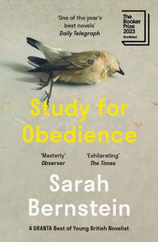 Study for Obedience: Shortlisted for the Booker Prize 2023 by Sarah Bernstein£9.99
 -
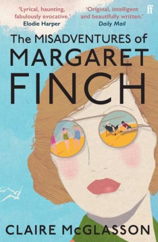 The Misadventures of Margaret Finch by Claire McGlasson£9.99
Books to Pre-Order
New Hardback Fiction


New Hardback Non-Fiction
-
 Committed: A Memoir of Finding Meaning in Madness by Suzanne Scanlon£18.99
 -
 Track Record: Me, Music, and the War on Blackness by George the Poet£22.00
 -
 The Eighth House: A murder, a mother, a haunting by Linda Segtnan£20.00
 -
 Sociopath: A Memoir by Patric Gagne£18.99
 -
 Broken Archangel: The Tempestuous Lives of Roger Casement by Roland Philipps£25.00
New-In: Horror, Fantasy and Sci Fi


New Food and Drink Writing
-
 Zao Fan: Breakfast of China by Michael Zee£26.00
 -
 Greekish: Everyday recipes with Greek roots by Georgina Hayden£26.00
 -
 Italian Coastal: Recipes and stories from where the land meets the sea by Amber Guinness£29.99
 -
 Natural Wine, No Drama: An Unpretentious Guide by Honey Spencer£25.00
 -
 Saucy: 50 Recipes for Drizzly, Dunk-able, Go-To Sauces to Elevate Everyday Meals by Ashley Boyd£14.99
New Art and Design Books


New History Books
-
 Men at War: Loving, Lusting, Fighting, Remembering 1939-1945 by Luke Turner£10.99
 -
 The Book-Makers: A History of the Book in 18 Remarkable Lives by Adam Smyth£25.00
 -
 An African History of Africa: From the Dawn of Humanity to Independence by Zeinab Badawi£25.00
 -
 Ghosts of the British Museum: A True Story of Colonial Loot and Restless Objects by Noah Angell£20.00
 -
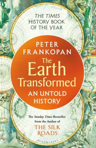 The Earth Transformed: An Untold History by Professor Peter Frankopan£12.99
New Gardening Books
-
 RHS Greener Gardening: Vegetables by Sally Nex£18.99
 -
 An Almost Impossible Thing: The radical lives of Britain’s pioneering women gardeners£12.00
 -
Outside In: A Year of Growing & Displaying by Sean A Pritchard£30.00
-
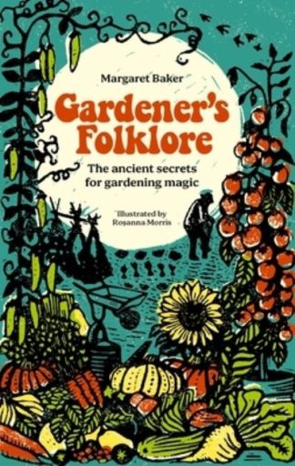 Gardener’s Folklore: The Ancient Secrets for Gardening Magic by Margaret Baker£14.99
 -
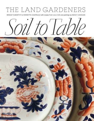 Soil to Table: The Land Gardeners by Henrietta Courtauld£45.00
New Nature Writing
-
 I Can Hear the Cuckoo: Life in the Wilds of Wales by Kiran Sidhu£10.99
 -
 Forget Me Not: Finding the forgotten species of climate-change Britain by Sophie Pavelle£10.99
 -
 A Brief History of the Countryside in 100 Objects by Sally Coulthard£22.00
 -
 Wild Service: Why Nature Needs You by Nick Hayes£20.00
 -
The Lost Paths: A History of How We Walk From Here To There by Jack Cornish£20.00
New Travel Writing
-
 Abroad in Japan: The No. 1 Sunday Times Bestseller by Chris Broad£10.99
 -
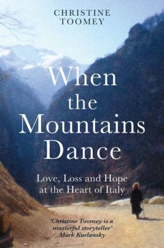 When the Mountains Dance: Love, loss and hope in the heart of Italy by Christine Toomey£10.99
 -
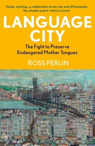 Language City: The Fight to Preserve Endangered Mother Tongues by Ross Perlin£12.99
 -
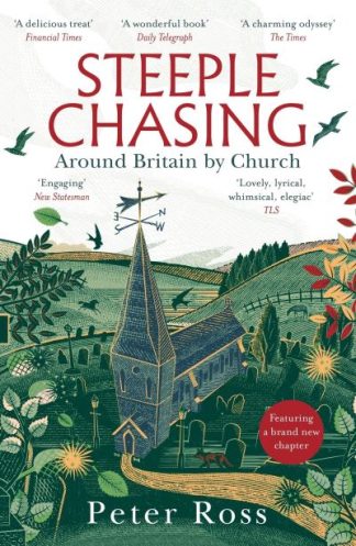 Steeple Chasing: Around Britain by Church by Peter Ross£10.99
 -
 Between Britain: Walking the History of England and Scotland by Alistair Moffat£20.00
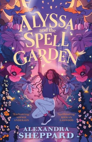
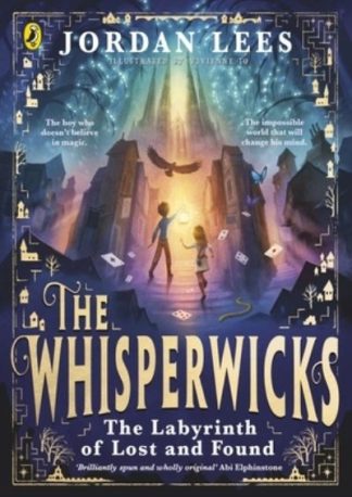
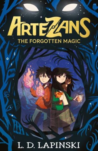
Children’s Books Reviewed by our Young Readers
Our Young Readers scheme allows children and teenagers to read exciting new books and we get to hear their opinions! Sign up for the scheme or find out about more here.